Lake Champlain Weather
Lake Champlain & Local Weather Links
- !!NEW LINK Lake Champlain Marine Forecast Lake Champlain Marine Forecast for Lake Champlain Open Waters by the National Weather Service in Burlington, VT, updated throughout the day.
- !!NEW LINK Lake Champlain Data Daily lake level and temperature from the King Street Ferry Dock in Burlington, VT as well as other locations around the lake. htmlimport_colreef
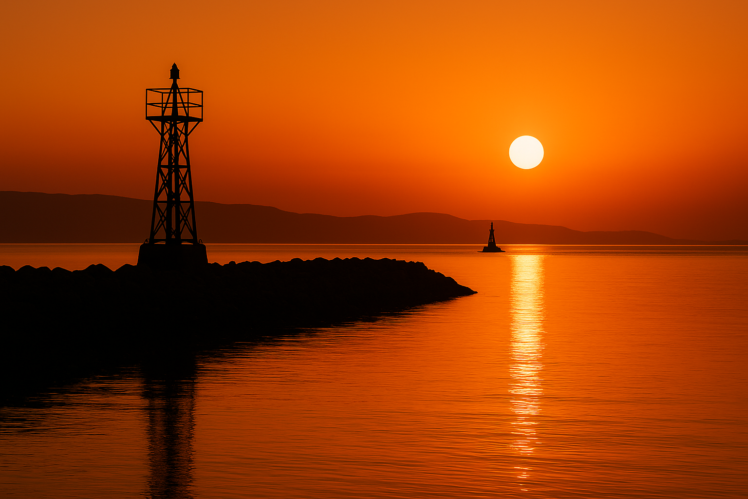
- — New Link! —Conditions at Colchester Reef during the last 24 hours
- The Colchester Lighthouse weather station is operated by the UVM School of Natural Resources. It is fully automated and collects temperature, wind speed & direction, humidity, solar radiation and water temperature. Data is radioed hourly.
- Burlington VT Weather Forecast by Intellicast A quick, easy to understand, weather forecast for the next four days.
- Current Conditions Burlington Provided by the U.S. National Weather Service
- Current Conditions Plattsburgh Provided by the U.S. National Weather Service
National Weather Links
- National Oceanic and Atmospheric Administration Find your current OFFICIAL Weather warnings, observations, and forecasts
- Interactive Weather Information Network “Official Forecast of the National Weather Service. The site lists all the areas across the country that are currently under watch or warning for thunderstorms, tornadoes, hurricanes, flash flooding, and other climatic episodes”
- !!NEW LINK Current winds and gusts in the US A wind strength map that gives you a general idea of the wind conditions across the country.
Regional Weather Links
- !!NEW LINK Interactive Marine Observations: Northeastern U.S. Get up-to-date weather forecasts from a variety of locations long the coast from Long Island to Maine.
- WINDcast by Intellicast A great overall picture of the wind patterns for Lake Champlain and the northeast.
- THUNDERcast by Intellicast Gives you great information that is easy to understand about the likelihood of thunderstorms.
- SAILcast by Intellicast A general view of the sailing conditions in the northeast.
- Global Significant Wave Height Map Wave height and direction from oceans around the world.